Share Online Participative Workshop on Land Use on FacebookShare Online Participative Workshop on Land Use on X (formerly Twitter)Share Online Participative Workshop on Land Use on LinkedinEmail Online Participative Workshop on Land Use link
Thank you for participating in the participatory workshop and online activity. We have collected the results that will be considered in the Environmental Impact Assessment. The online interactive tools are now closed.
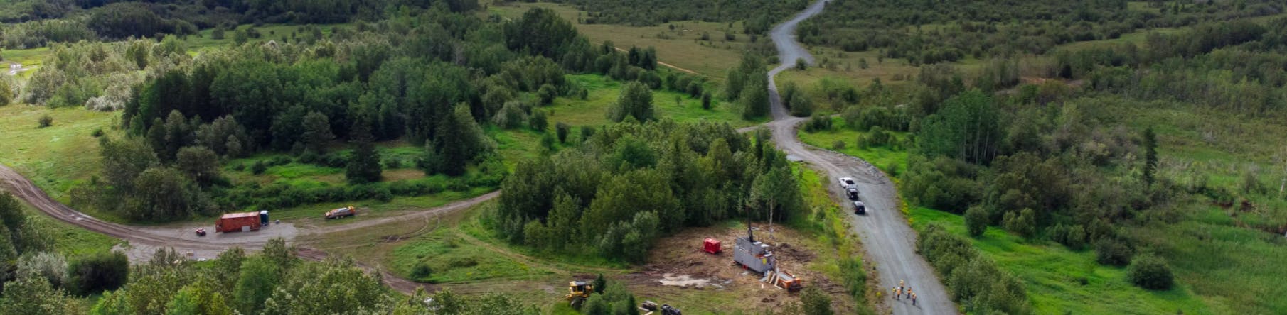
In-person workshop held on December 1
We thank everyone who participated in our activity last December 1 to identify the different uses of the land around the Wasamac underground mining project. You pointed out your favourite places for cycling and family walks, hunting grounds, and even vacation spots. To find out more about the process, read the presentation.
Your input was greatly appreciated! We entered the information on the map below (titled “Workshop”). People who were unable to participate or want to share different information have two ways to do so online:
By pinning an activity on the map: click on the activity of your choice and drag the pin to the desired location. The pin can represent an area; you won’t need to reveal your favourite secret spots!
By telling your story, or the story of a loved one! You can even record the scene and post it online.
Why is participation important?
Documenting current uses of the land as part of the environmental impact assessment is an exercise with two important objectives:
To integrate the project as seamlessly as possible into the neighbourhood.
To preserve, showcase, and contribute to the local outdoor activities that are meaningful to the people as the project progresses.
Your participation is important. Without effective information-gathering at this stage of the project, it would be more difficult to balance recreational land use with development of the underground mining project. To participate, you must first register.
You can also make an appointment by phone to share your information with us in person at the Community Relations Office, situated at 14 rue d'Évain, Rouyn-Noranda. Call us at 1 833 510-0330.
Every bit of information is useful and relevant!
Thank you for participating in the participatory workshop and online activity. We have collected the results that will be considered in the Environmental Impact Assessment. The online interactive tools are now closed.
In-person workshop held on December 1
We thank everyone who participated in our activity last December 1 to identify the different uses of the land around the Wasamac underground mining project. You pointed out your favourite places for cycling and family walks, hunting grounds, and even vacation spots. To find out more about the process, read the presentation.
Your input was greatly appreciated! We entered the information on the map below (titled “Workshop”). People who were unable to participate or want to share different information have two ways to do so online:
By pinning an activity on the map: click on the activity of your choice and drag the pin to the desired location. The pin can represent an area; you won’t need to reveal your favourite secret spots!
By telling your story, or the story of a loved one! You can even record the scene and post it online.
Why is participation important?
Documenting current uses of the land as part of the environmental impact assessment is an exercise with two important objectives:
To integrate the project as seamlessly as possible into the neighbourhood.
To preserve, showcase, and contribute to the local outdoor activities that are meaningful to the people as the project progresses.
Your participation is important. Without effective information-gathering at this stage of the project, it would be more difficult to balance recreational land use with development of the underground mining project. To participate, you must first register.
You can also make an appointment by phone to share your information with us in person at the Community Relations Office, situated at 14 rue d'Évain, Rouyn-Noranda. Call us at 1 833 510-0330.
For us, it is crucial that we obtain reliable participation information for an accurate picture of the feedback. Registrations tell us where participants are and enable us to create a profile of age groups and locations.
It also has benefits for you! By creating an account, you:
can participate easily and as often as you want;
get projects updates and news directly in your inbox;
enjoy simplified repeated sign-ins!
Click
Register” if you are participating for the first time.
Already have an account? It’s good for life! Click on “Sign in” whenever you want to participate.
For in-person participation, you will stop by the registration table at the entrance. It’s the same as the online process, except that you register just once for all consultations.
 In-person workshop held on December 1

